Contact information

Keepers : Yannick Le Lay & Pierre Guyot
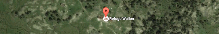
Refuge Wallon-Marcadau
BP 40044
65110 CAUTERETS
 Tél : 09 88 77 37 90
Mail : This email address is being protected from spambots. You need JavaScript enabled to view it.
 Lat : 42.866222 / Long : - 0.737379
Access
Lourdes > Argelès Gazost > Pierrefitte > Cauterets > Pont d'Espagne
Starting point : Puntas car park at Pont d''Espagne (1459 m), in the Cauterets valley.
Automatic barriers on entry (in the early morning take a ticket even if they’re open !)
Directions
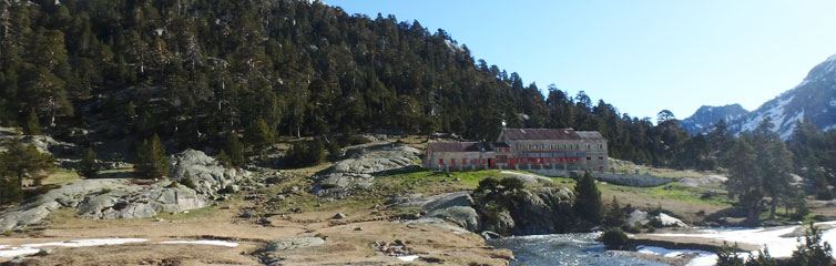
From the Pont d'Espagne car park (~1460 m), go through the arch of the cable car building and follow the road or the path as far as the restaurant (1496 m). Continue on towards the Plateau and Chalet-Refuge du Clot (1522m – 0 hr 15mins). Cross the footbridge to the right bank of the stream and follow the former road up to the Plateau du Cayan (1610 m).
The road now turns into a wide dirt track leading to the end of the plateau (~1 hr) and the 'Estalounqué bridge (~ 1 hr 15 mins - 1717m). Follow the path along the left bank to the Aratille trail turnoff (~2 hrs - 1820m). From there the path turns westwards and a 10 minute stroll will bring you to the Wallon refuge and the Pla de la Gole (~ 2 hrs 15 mins - 1865m).